
Description
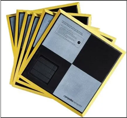
Each AeroPoint is a portable, reusable ground control point that repeatedly records positioning data while your drone flies. NOTE: This product does not qualify for Free Freight Shipping
-
45 minutes to Accuracy: AeroPoints’ in-built GPS only needs 45 minutes of activation, well within typical drone operation time
-
Lightweight and durable with Product one-touch operation: a standard set of 10
-
AeroPoints can be placed around a survey area in minutes
-
Works with any GPS-enabled drone model, including those with onboard RTK
-
Works with the Propeller Aerial Data Platform as well as any other platform for visualizing drone data
-
Works with your grid: including nonstandard and local grid coordinate systems, using a Point Pair file that translates your grid into a coordinate reference system
-
Global accuracy of 2 cm when using the Propeller Corrections Network, a known point (even local grid) or RINEX Data
